
Project Overview
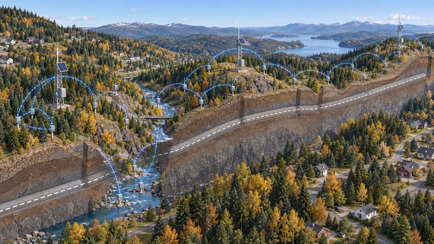
One of Ackcio’s key engineering partners in Northern Europe has deployed Ackcio’s wireless monitoring system along a tunnel project route. The monitoring corridor covers around 10 km of suburban terrain, crossing multiple hills and valleys with heavy tree cover.
Piezometers are distributed along the route to track groundwater conditions during the works. The partner chose Ackcio’s long-range Mesh network to link these widely spread monitoring points back to a gateway, with no cabling across the site.
The Monitoring Challenge
Monitoring many points across a large, obstructed site is hard for conventional wireless systems. Hills, valleys and dense vegetation block the direct line of sight that most point-to-point or star networks rely on.
On this route, some monitoring points sit around 700 m from the gateway through forest. Others sit down in a riverbed, some 150 m below the gateway’s elevation.
The team needed a monitoring system that could:
#1 Extend along the route simply by adding more gateways
#2 Connect sensors spread over a long, uneven corridor to a single gateway;
#3 Keep data flowing through trees and across changes in elevation;
#4 Scale to dozens of monitoring points per gateway as installation progresses; and
Ackcio’s Solution
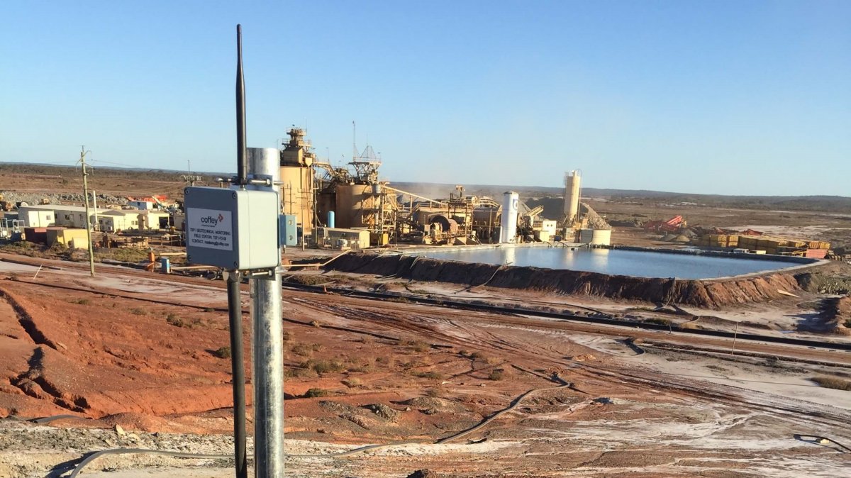
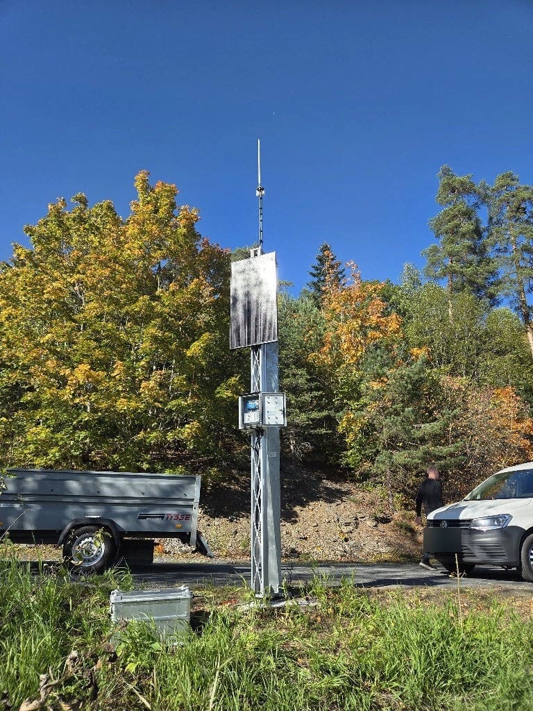
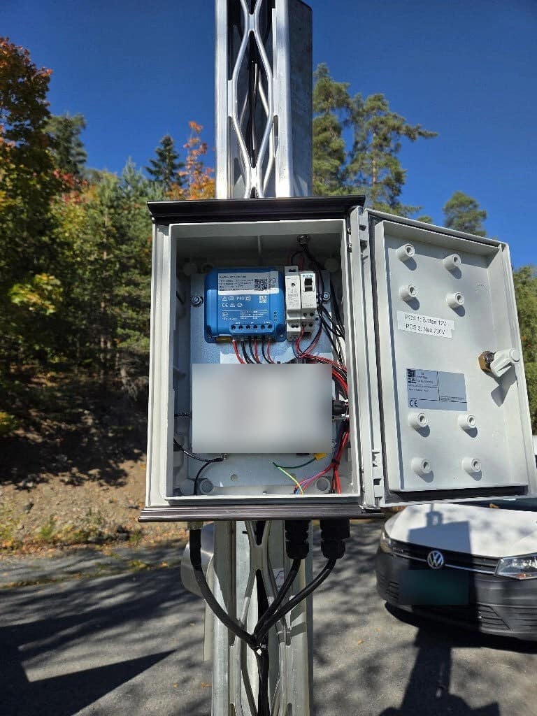
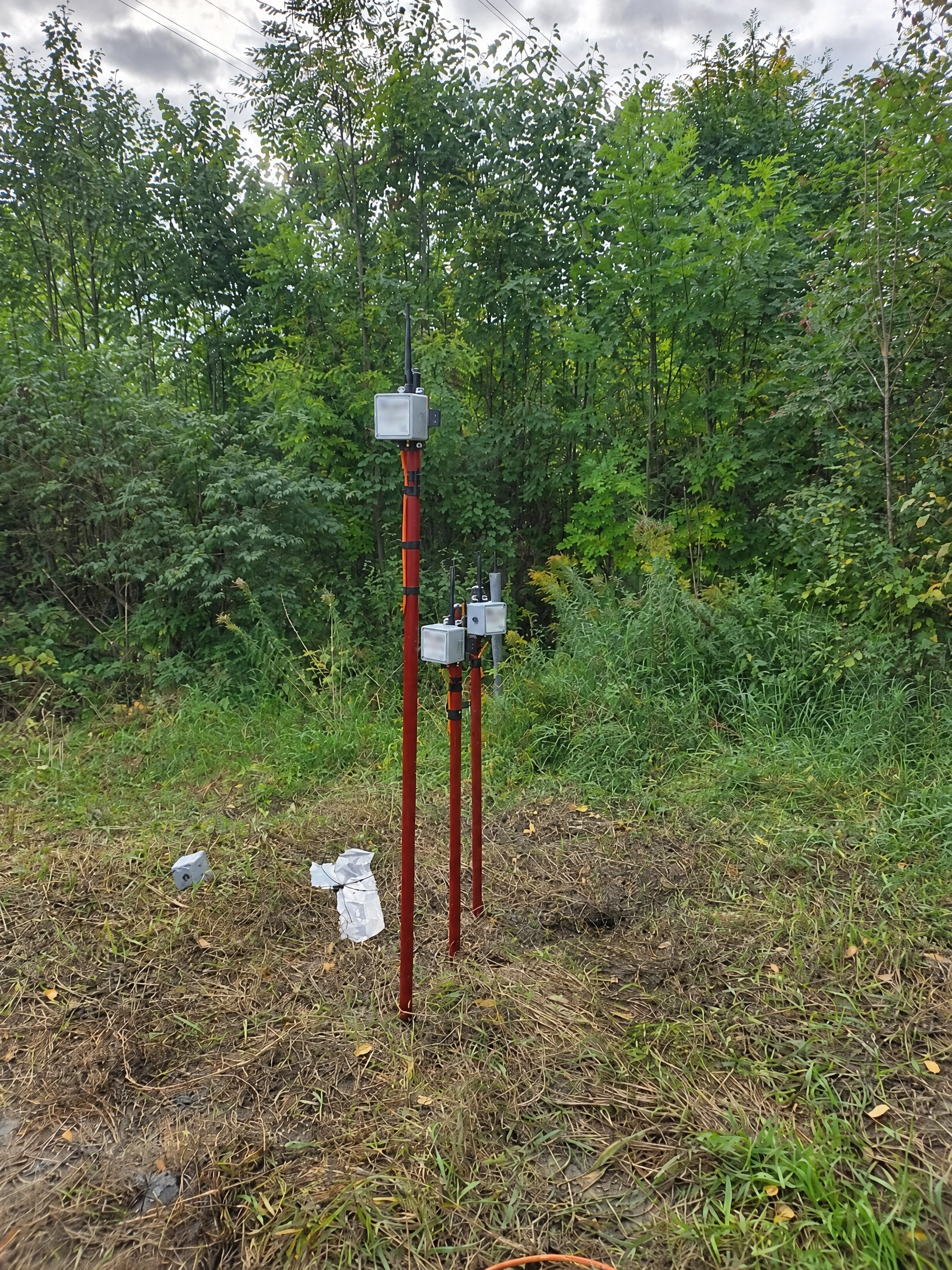
The partner installed Ackcio BEAM-VW-S1 vibrating wire nodes on the piezometers, linked to a solar-powered Ackcio Gateway mounted on a mast.
The nodes form part of Ackcio’s patented long-range, self-healing Mesh network. Each node can relay data for its neighbours, so readings travel across the site through multiple communication paths. If one path is blocked, data simply takes another route to the gateway.
This is what allows nodes deep in a valley or behind a forested ridge to stay connected, even where they have no direct line of sight to the gateway.
Key parameter monitored:
#1 Pore water pressure / groundwater level along the tunnel route
Results & Impact
#1 Reliable connectivity in difficult terrain: nodes around 700 m away through trees, and others in a riverbed some 150 m below, report reliably to the gateway.
#2 Automated monitoring over 10 km: piezometer readings are collected automatically, with no manual site visits to download data.
#3 No site cabling: the wireless Mesh network avoids running cables across hills, valleys and forest.
#4 Fast roll-out at scale: the first gateway is expected to be fully populated with nodes before year end.
#5 Easy expansion: additional gateways extend coverage further along the same route.
Client Feedback
“For the three nodes there, they sit around 700 m away, with a further two down in a riverbed around 150 m below. This would not have worked without the mesh capability. We are covering a suburban distance of 10 km, with multiple valleys and hills along this path. Mesh is vital for this kind of topology.”
— Project Engineer, Engineering Consultancy Partner, Northern Europe
Future Plans
Installation continues along the route. The partner is completing the remaining nodes on the first gateway, then moving on to a second gateway further along the tunnel path. Two more gateways are currently planned.
This project is a strong example of how Mesh telemetry enables automated geotechnical monitoring across large, challenging sites.