Challenge
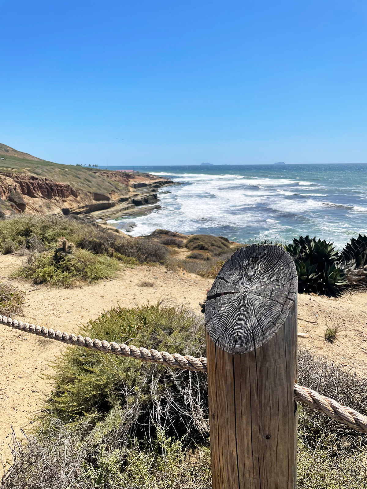
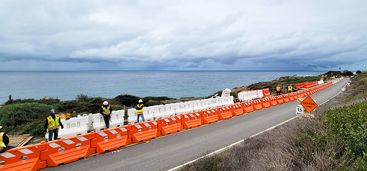
Along the winding coastline in California, erosion threatens the safety of a main service road. Along this stretch of road, the cliffs that drop off steeply to a cove below have advanced inland to within 20 feet of the road.
Real-time monitoring of the road surface stability was needed to ensure the safety of vehicles and people travelling it, and ongoing public access. The monitoring would also reduce the risk of road closures by providing advance notice of potential stability concerns, helping to de-risk the chance that staff might not have continued access to critical infrastructure.
GEO-Instruments, a U.S.-based company specialising in geotechnical and structural monitoring solutions, was contracted to provide continuous monitoring of the road surface.
Solution
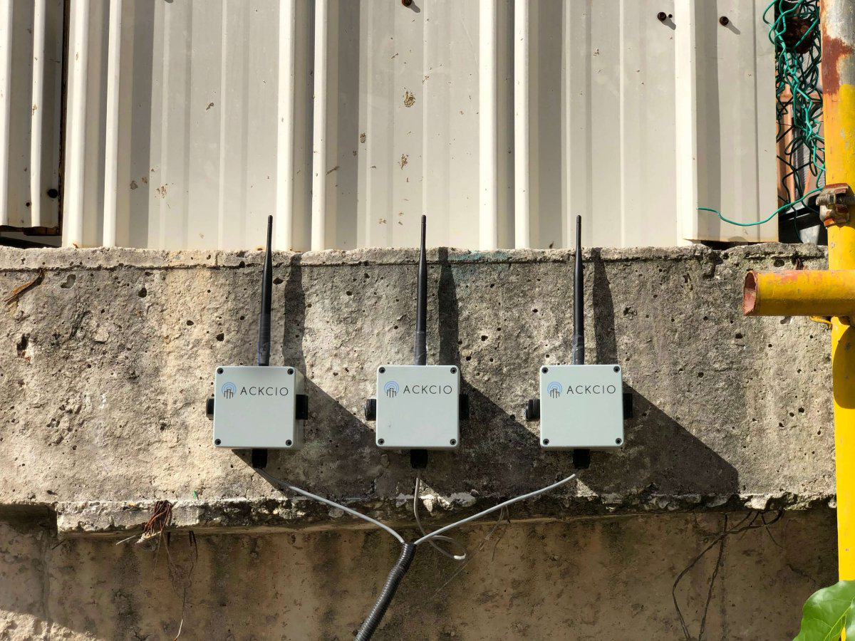
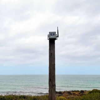
To ensure a stable, steady stream of real-time data from the project site, GEO-Instruments chose the Ackcio Beam for its proven ability to reliably deliver automated readings even in rugged settings, which lacks cell service and required networked communications to a wifi outlet. Ackcio also provided seamless compatibility with the various project sensors, including a Measurand ShapeArray (SAA), and piezometers, as well as the benefit of quick and easy installation backed by top-notch support and service.
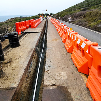
Engineers required near real time direct sub-surface measurements. GEO-Instruments opted for a 600ft 183-segment ShapeArray installed horizontally in a trench below the road surface, covered in 10ft sections of protective pipe before the trench was backfilled with grout.
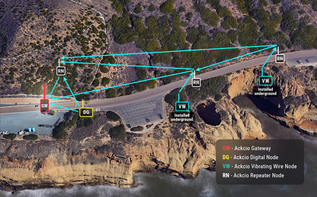
Ackcio Vibrating Wire Nodes (BEAM-VW-S8) and Ackcio Digital Node (BEAM-DG) are attached to the sensors. They are located inside manholes, with the longest link of 120 metres pushing out of the manhole. Ackcio Repeater Nodes (BEAM-RN) were also deployed to act as data bridges and provide redundancies between the Nodes to ensure a steady flow of readings from the sensors through to the Ackcio Gateway (BEAM-GW). From here, sensor measurements were sent to the plant’s network by point-to-point radio and then forwarded to the cloud for processing.
The installation went very smoothly, and careful planning reduced installation time from a predicted 4 hours to just 1.5. The solution reliably sends data providing a real-time picture of the road’s stability.
Benefits
- Quick, easy installation
- Reliable, real-time readings
- Durable construction for a rugged site
Results
- Remote, real-time data access
- Reliable, stable readings
- Increased road safety
- Improved risk management
Testimonial
The ability to read longer instruments and the networking ability the system offered in a challenging location was a key factor on this project.
– Paul Thurlow
Vice President, Western Region, GEO-Instruments

Application
Coastal erosion monitoring

Location
United States

Products Used

Monitored Sensors
Measurand ShapeArray (SAA)
Piezometers

Measured Parameters
Settlement